France
Coming soon
Official inland charts (Inland ENC) from Voies navigables de France (VNF) and locks from Région Bretagne
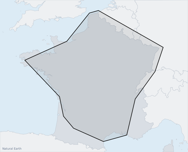
France's major waterways: the Seine and Oise, the canals of northern France, the Moselle, the Rhine and the Rhône – plus the locks on the Brittany canals. The coast (SHOM) will be added to the same pack later.
Incl. VAT
- Valid for 12 months from purchase; not renewed automatically.
- For one AYLO installation – requires an active AYLO subscription.
- Installed automatically on the AYLO unit when it is on wifi.
- Stored on the unit and works without a connection on board.
Purchased official charts (chart packs) are a supplement to approved navigation equipment. AYLO always recommends having several chart sources on board. It is the skipper's responsibility to navigate lawfully and safely. Errors and omissions in the supplied chart information are excepted.
Read the chart pack terms · Background map: Natural Earth