Germany
Coming soon
Official inland charts (Inland ENC) from the German waterways administration, WSV
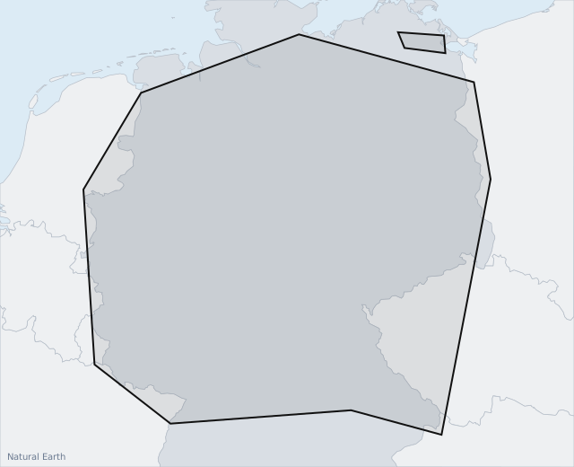
Germany's federal waterways: the Rhine, Moselle, Saar, Main, Neckar, Danube, Elbe, Weser, Oder and the canal network between them, including the Mittelland Canal and the Dortmund-Ems Canal. Coastal waters are not included yet.
Incl. VAT
- Valid for 12 months from purchase; not renewed automatically.
- For one AYLO installation – requires an active AYLO subscription.
- Installed automatically on the AYLO unit when it is on wifi.
- Stored on the unit and works without a connection on board.
Purchased official charts (chart packs) are a supplement to approved navigation equipment. AYLO always recommends having several chart sources on board. It is the skipper's responsibility to navigate lawfully and safely. Errors and omissions in the supplied chart information are excepted.
Read the chart pack terms · Background map: Natural Earth