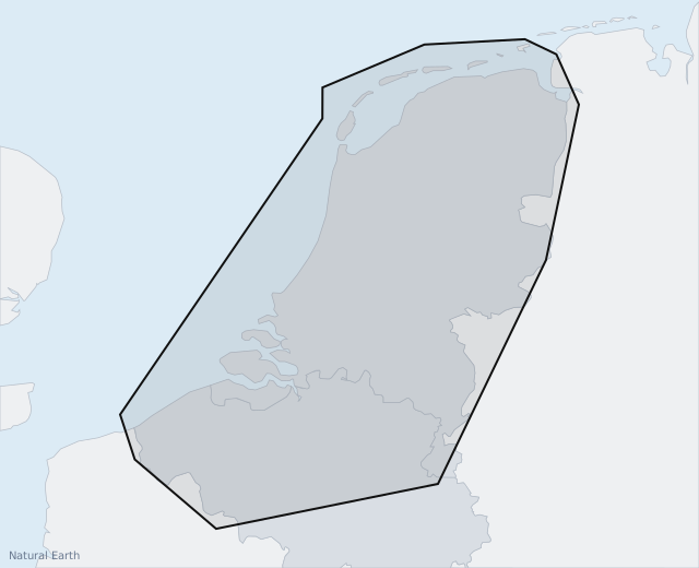
Netherlands
Official inland charts (Inland ENC) from Rijkswaterstaat
50 EUR for 12 months
See details
Add To Basket
Navigation
Denmark, Sweden, Norway and Germany — detailed navigation charts included from day one. No added costs.
AYLO comes with free charts for Denmark, Sweden, Norway, Germany, France, Belgium, the Netherlands and Poland: depth contours and coloured depth bands, soundings, buoys and beacons with their real shapes, light characteristics, bridge clearances and more than 4,000 harbours, bridges and boat clubs. The free charts are meant for orientation and planning – finding your way to the next harbour, laying out the day's trip and keeping the overview underway.
If you want to navigate by the chart, you can buy chart packs with official charts – directly in the AYLO app or here on the website. The chart packs are the electronic navigational charts (ENC) published by each country's own hydrographic office, layered on top of AYLO's chart.
As always, it is the skipper's responsibility to navigate safely, and we recommend having more than one chart source on board. If your boat is already equipped with a chartplotter, AYLO remains a great choice as a backup chart source.
The charts are installed automatically on the AYLO unit when it is on wifi – both the free charts and the chart packs you buy. There is nothing to download or copy yourself.
Choose the countries you sail in. Each pack is valid for 12 months for one AYLO and is installed automatically on the unit when it is on wifi.
Official inland charts (Inland ENC) from Rijkswaterstaat
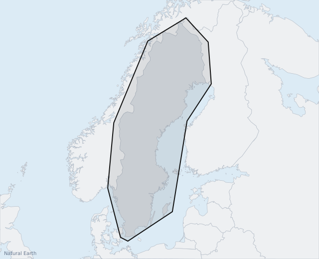
Official charts from the Swedish Maritime Administration
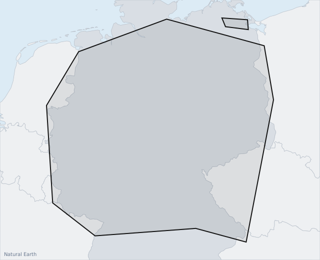
Coming soon
Official inland charts (Inland ENC) from the German waterways administration, WSV
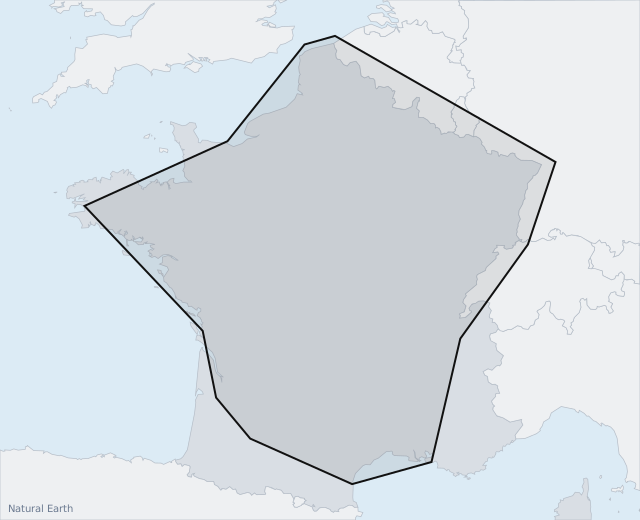
Coming soon
Official inland charts (Inland ENC) from Voies navigables de France (VNF) and locks from Région Bretagne
Coming soon
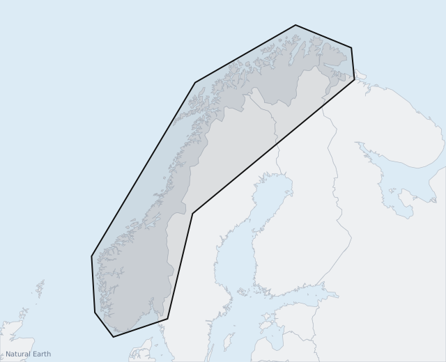
Official charts from the Norwegian Mapping Authority (Kartverket)
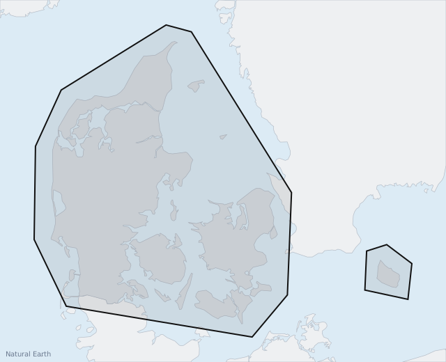
The free orientation charts are always included – also without a chart pack. A chart pack adds the official charts on top for the country you buy.
No technical knowledge required. Order online, install it on board and set sail.
Buy your AYLO here on the site. You receive the package with everything you need.
Connect the unit to power and to your boat's instruments. Follow the simple setup guide in the app.
Open the app on your tablet and head out. AYLO is ready from your very first trip.
535EUR
669 EUR
One-time payment — incl. VAT
Need a tablet? Add a Samsung Galaxy A11 with the app pre-installed for 175 EUR in the basket.
13EUR/mo.
New customers get 6 extra months on the first subscription period. After that it renews at the normal 12-month price.
* The subscription is paid 12 months in advance.